Field Documentation Software for Civil Engineering Teams
Capture accurate, defensible field records for inspections, infrastructure, and site conditions — without enterprise overhead.
Engineering Specs BelowThe Problem Civil Engineers Face
Field data is often chaotic, unverified, and disconnected from the final report. This creates risk and delays for every stakeholder.
SPREAD ACROSS DEVICES
Photos on personal phones, notes in notebooks, and data in emails make record retrieval a nightmare.
MISSING CONTEXT
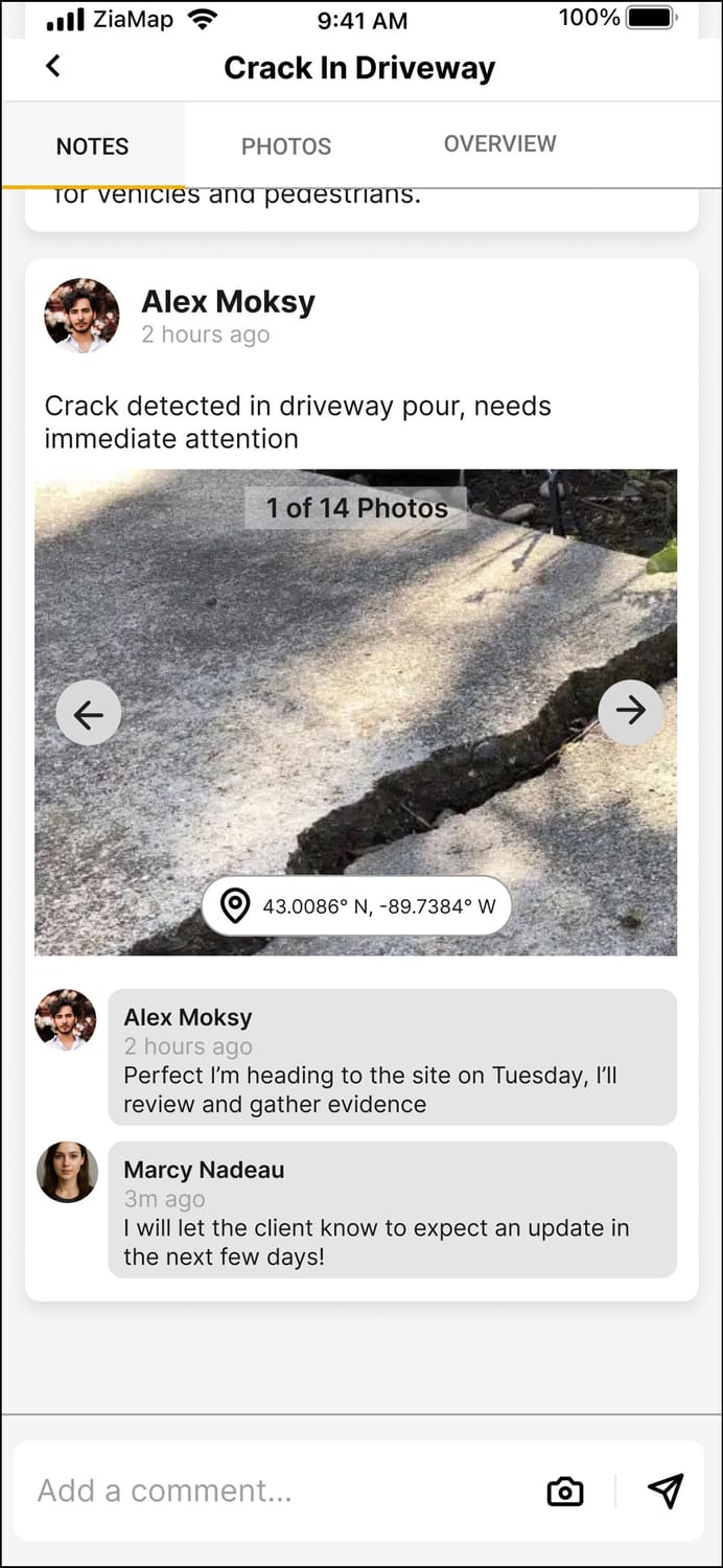
Images without orientation or specific GPS markers lose their engineering value the moment you leave the site.
DIFFICULT TO VERIFY
Lacking chronological trails and tamper-proof timestamps makes defending field records nearly impossible.
Built for Real Engineering Workflows
Engineered to streamline the path from field observation to professional review with high-precision data capture.
-
EXACT GPS LOCATIONS
Precision coordinates for every data point. -
LINKED SITE NOTES
Context-aware annotations that stay with the media. -
LINKED SITE NOTES
Immutable timeline of site conditions and progress.
Reliable Documentation
Even Offline
ZiaMap ensures that remote site work is captured with integrity, syncing automatically when connectivity is restored.
GPS COORDINATES
Hard-coded location data for every entry, ensuring spatial accuracy.
TIMESTAMP
Immutable temporal verification for a defensible record of events.
USER ATTRIBUTION
Clear logging of who captured what, creating a professional accountability trail.
WHY ENGINEERS SWITCH
ENTERPRISE OVERKILL
- Weeks of specialized training
- Bloated features never used
- High per-seat licensing costs
THE ZIAMAP WAY
-
FASTER ONBOARDING
Up and running in minutes, not days.
-
LESS COMPLEXITY
Focused UI designed for the field environment.
-
LOWER COST
Transparent pricing built for engineering teams.
TECHNICAL USE CASES
INFRASTRUCTURE INSPECTIONS
Bridge, culvert, and roadway assessments with geo-spatial photo documentation and defect tagging.
CONSTRUCTION DOCUMENTATION
Daily logs, pile driving records, and utility installation tracking for real-time project oversight.
MONITORING SITE CONDITIONS
Environmental monitoring, erosion control checks, and storm water management inspections.
SUPPORTING REPORTS & REVIEWS
Generate verified data exports to support final engineering reports and professional certifications.
See ZiaMap in Action
Engineered for the field, trusted by professionals.
Designed for the field. Engineered for simplicity.